What Route 66 Actually Is Today
Route 66 was officially decommissioned as a U.S. highway in 1985, replaced by the Interstate system. What travelers drive today is a loosely connected series of original alignments, frontage roads, and historic byways that require active navigation - not just plugging "Route 66" into a GPS. Several apps and printed guides are built specifically for this purpose, and they're worth using.
The route runs from Chicago, Illinois to Santa Monica, California - about 2,400 miles. Most estimates suggest around 85% of that original pavement is still accessible, though "accessible" covers a wide range. Some segments are well-maintained two-lane roads lined with restored attractions. Others are cracked, unmarked, and dead-end without warning. A handful have been buried under freeway overpasses entirely.
Before you go, treat your vehicle seriously. Our pre-departure checklist covers the mechanical and safety basics that matter even more on a route with stretches of sparse services.
The Real Pros of Driving Route 66
For all its complications, Route 66 offers experiences that interstate travel simply can't replicate. Here's what holds up.
Unmatched sense of American road trip history
The route passes through eight states and reflects nearly a century of American migration, commerce, and car culture. The visual and cultural depth isn't available anywhere else in one continuous drive.
Genuine off-the-beaten-path discoveries
Many small towns along the route - Seligman in Arizona, Tucumcari in New Mexico - have maintained a slower, more authentic character precisely because they were bypassed by the interstates.
Flexible pacing with no fixed timeline
Unlike a fly-in vacation, driving the route lets you linger where something catches your eye and skip what doesn't. There's no ticket or booking locking you into a schedule.
Strong local food and roadside culture
Diners, drive-ins, and regional cooking are still embedded in the route in ways that chain-restaurant interstates can't match. Expect green chile in New Mexico and fried catfish in Missouri.
~2,400
Total miles of original Route 66
The route spans eight states from Chicago, Illinois to Santa Monica, California, though no single road covers it end to end today.
8 states
States crossed by the original route
Illinois, Missouri, Kansas, Oklahoma, Texas, New Mexico, Arizona, and California each preserve varying amounts of the original alignment.
The Honest Cons to Plan Around
Going in clear-eyed about the downsides makes the trip far less frustrating. These are the real friction points most travelers encounter.
Significant gaps and missing segments exist
Entire stretches have been paved over, eroded, or closed to vehicles. Navigating around these gaps mid-trip without preparation can add significant time and frustration.
Many attractions are in poor condition
Abandoned motels, faded murals, and derelict gas stations are part of the aesthetic - but some travelers are surprised by how neglected and inaccessible many landmarks actually are.
Services are sparse in rural stretches
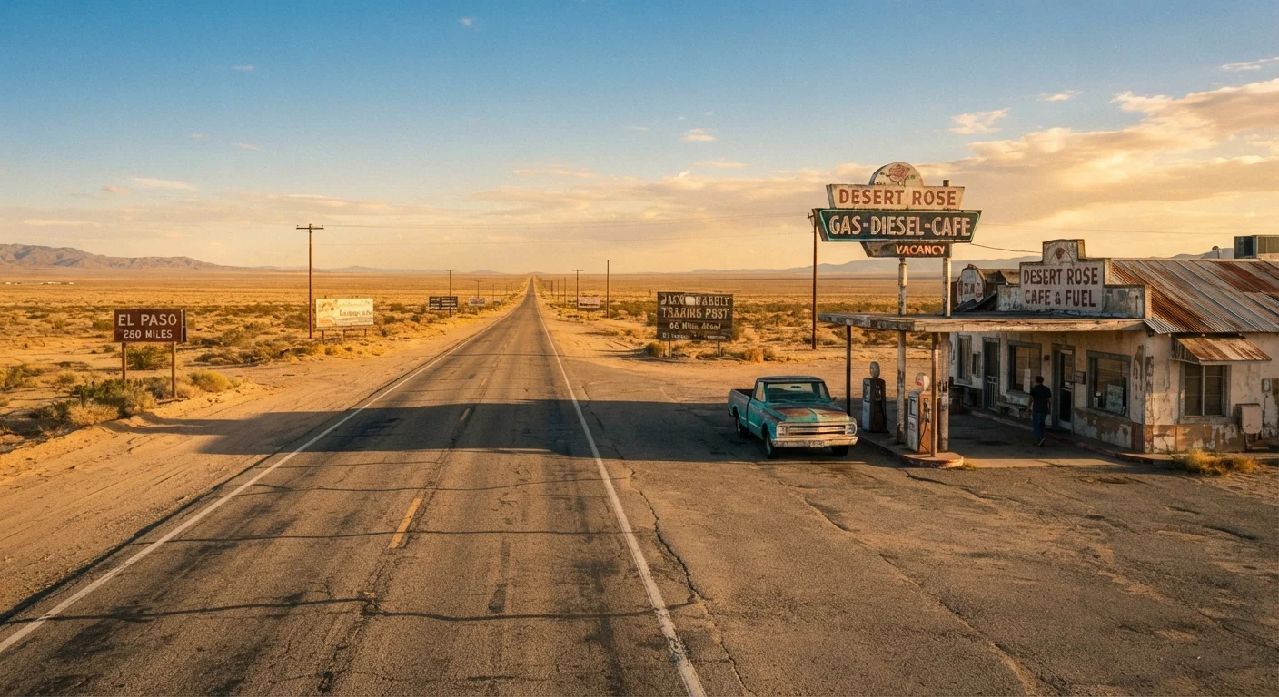
In parts of the Texas Panhandle, eastern Arizona, and the Mojave Desert, fuel stations and lodging can be 50 to 80 miles apart. Running low on gas between towns is a real risk without planning.
Heavy tourist saturation in popular zones
Williams and Winslow in Arizona, and stretches near Santa Monica, attract significant crowds and carry heavily commercialized versions of the Route 66 experience that feel thin compared to quieter segments.
Navigation requires active effort throughout
There's no single consistent road marking system across all eight states. Relying solely on standard GPS apps frequently sends drivers onto interstates rather than original alignment roads.
Verify Conditions Before You Arrive
Road conditions, attraction access, and segment closures along Route 66 can change with little notice - particularly in rural areas after weather events. State tourism offices for New Mexico, Arizona, and Oklahoma publish updated road condition resources. For any entry or safety information, always verify directly with official sources before you travel.
How to Plan a Realistic Route 66 Trip
The travelers who leave satisfied are almost always the ones who planned selectively rather than trying to "do it all." A few practical principles:
- Pick a direction based on timing. West-to-east (California to Chicago) puts the sun at your back in the mornings through the desert Southwest. East-to-west is more common but not inherently better.
- Identify your anchor states. New Mexico and Arizona offer some of the most intact and visually dramatic stretches. Oklahoma and Missouri have strong historical density. Illinois is short but a solid starting point.
- Budget extra days for the middle states. Kansas, Missouri, and Oklahoma have sections that feel genuinely frozen in time - but they also have the most uneven information and signage.
- Avoid summer in the desert Southwest unless you're prepared for temperatures that regularly exceed 110°F in places like the Mojave.
For broader guidance on driving trips, the Driving & Road Life hub covers route planning, safety, and on-the-road decision-making across a range of scenarios.
Route 66 is neither a museum nor a functioning highway - it's somewhere in between. That ambiguity is part of what makes it interesting, if you're ready for it.